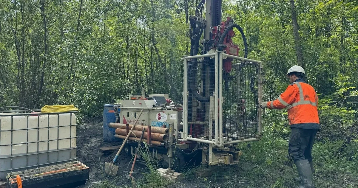
Galway sits at 25 metres above sea level, but that figure hides what's underneath. The city spreads across limestone bedrock, glacial deposits, and pockets of peat that shift with the seasons. We've pulled samples from sites near the Corrib where the upper two metres change completely within a 20-metre span. A proper soil mechanics study here isn't a box-ticking exercise. It's the difference between a foundation that holds and one that moves with the first wet winter. In our experience, the biggest variable is water. The water table in Galway rises fast between October and February, turning stiff clays into soft material. Before any design work begins, we recommend complementing the field investigation with a test pit campaign to visually map the transition zones between the glacial till and the underlying limestone.
Galway's ground doesn't give second chances. Karst, peat, and a rising water table demand a soil mechanics study that reads the site, not just the borehole log.
Local ground factors
The Atlantic shapes Galway's geotechnical risk profile. Annual rainfall exceeds 1,200 millimetres, and the prevailing southwesterly winds drive moisture into the soil column for most of the year. That persistent wetting reduces matric suction in the upper silts, cutting the effective stress and weakening shallow bearing layers. In karst terrain, the risk compounds. Acidic rainwater percolates through the overburden and dissolves the limestone along fracture networks, creating voids that can collapse under load. We've mapped cavities at depths of six to twelve metres in the Knocknacarra area. A soil mechanics study that ignores dissolution features is gambling with differential settlement. The same applies to peat lenses trapped within the glacial till. We run organic content tests on every sample because missing a peat seam means misreading the long-term compression behaviour of the entire soil profile.
Reference standards
I.S. EN 1997-1:2005 (Eurocode 7: Geotechnical design), I.S. EN 1997-2:2007 (Ground investigation and testing), I.S. EN ISO 17892 series (Laboratory testing of soil), I.S. EN ISO 22475-1 (Sampling methods and groundwater measurements), BS 5930:2015 (Code of practice for site investigations, referenced in Ireland)
Frequently asked questions
How long does a full soil mechanics study take in Galway?
Fieldwork typically takes five to eight working days for a standard residential or light commercial site. Lab testing adds another two to three weeks depending on consolidation schedules. We deliver the interpretive report within four weeks of mobilisation. Karst investigations may extend the programme if we need to run additional geophysical lines.
What does a soil mechanics study cost for a site in Galway city?
For a typical Galway city site with three to five boreholes, lab testing, and a factual-plus-interpretive report, the budget ranges from €2,960 to €4,230 excluding VAT. Sites with difficult access, deep peat, or extensive karst probing will sit at the upper end or slightly above.
Can we skip the lab testing and use published parameters for Galway soils?
You can, but we wouldn't recommend it. Published parameters smooth over the local variability that defines Galway ground. We've seen published friction angles overestimate the strength of weathered limestone by thirty percent. Lab testing ties the numbers to your exact depth and material, and that precision keeps the safety factors honest.